I came back to the United States from Lima for one reason: an aviation vacation.
Before the fun flying could begin, there were a few administrative and proficiency boxes to check. My medical was due to expire in August, so that came first. Then I needed a flight review and an instrument proficiency check. Both went extremely well—especially considering how long I had been out of the cockpit. With all of that behind me, it was finally time to go use the airplane for exactly what I built it to do.
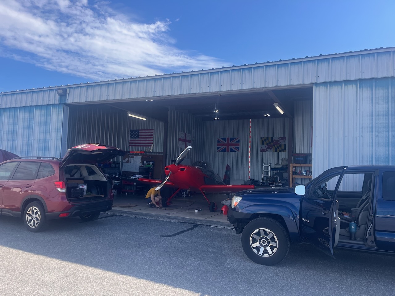
Two RVs to Tangier
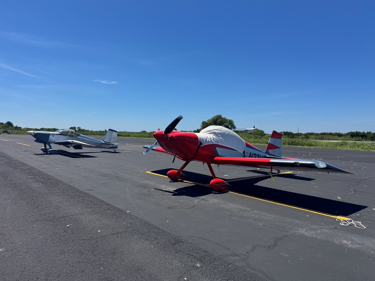
My buddy James joined me, and Mike Bullock came along in his RV-7. Our destination was Tangier Island, sitting out in the middle of the Chesapeake Bay. It is the kind of place that makes perfect sense in a small airplane: isolated by water, rich in history, and dramatically easier to reach by air than by almost any other means.
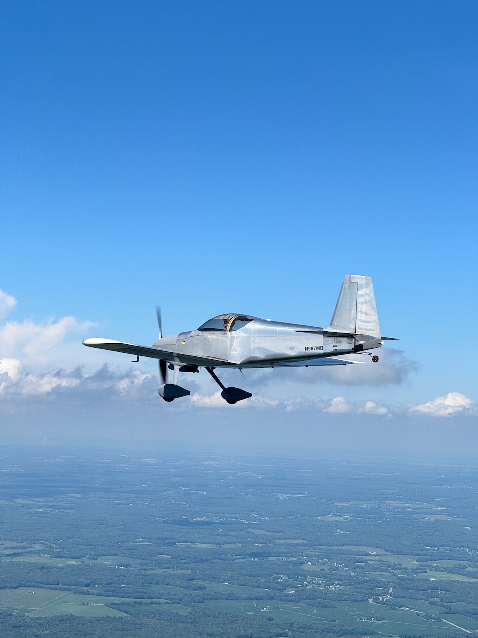
The flight out gave us the first opportunity of the day to put the two airplanes together. After being away from flying for a while, there was something particularly satisfying about looking across the cockpit and seeing another RV holding position nearby.
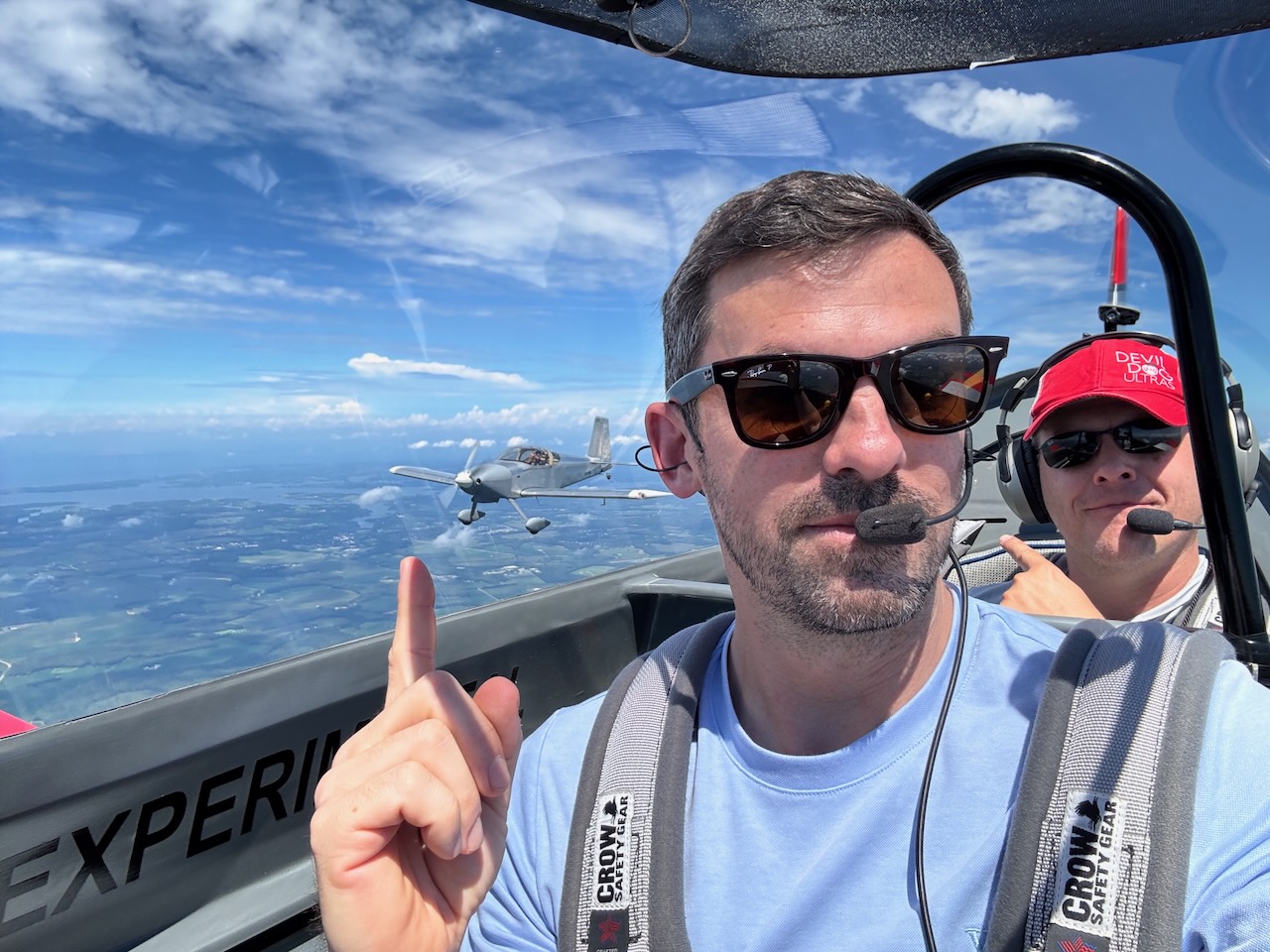
Tangier is striking from the air. The narrow inhabited ridges, marshes, channels, and exposed shoreline make it immediately obvious how completely the island is shaped by the Chesapeake Bay.

An island with a remarkable history
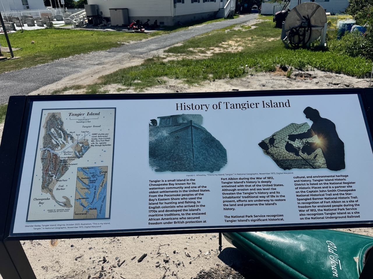
Tangier’s history is much larger than its present footprint. According to the Virginia Department of Historic Resources, Indigenous people harvested the area’s marine resources for thousands of years before European arrival, and the island’s first recorded settlement dates to 1778. Fishing, oystering, and later blue-crab harvesting became the foundation of a distinctive watermen’s community.
The island also played a role in the War of 1812. The British established Fort Albion there in 1814 and trained formerly enslaved men who joined the British Colonial Marines. The site of that fort is now beneath the Chesapeake Bay—a neat summary of Tangier’s history and its vulnerability in a single fact.
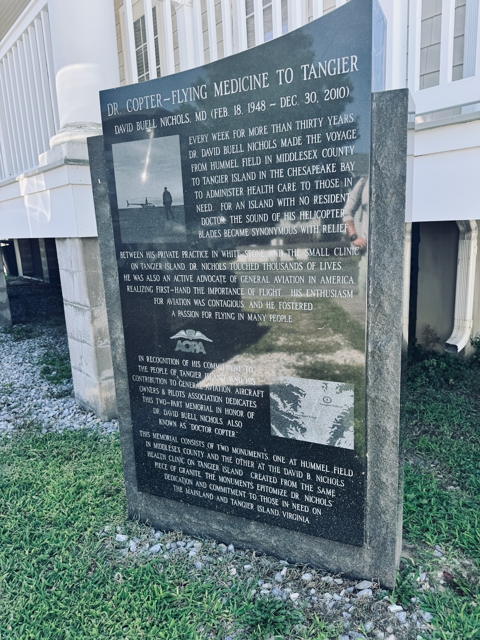
There is aviation history here, too. A memorial on the island honors Dr. David Buell Nichols, known as “Doctor Copter,” who flew from Hummel Field to Tangier every week for more than 30 years to provide medical care to a community without a resident doctor. It is hard to imagine a better example of what general aviation can do for an isolated place.
The island is disappearing
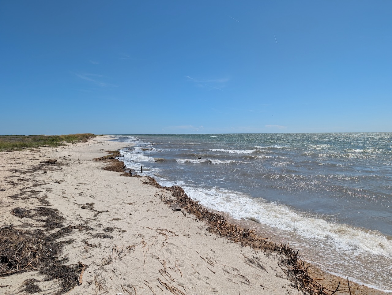
The slow demise of Tangier is not difficult to see. The U.S. Army Corps of Engineers has documented how erosion, relative sea-level rise, and storm action have reduced the island over time. Before 1900, seven ridges were high enough to support permanent habitation. By the time of the Corps’ 2016 report, only three remained.
From the airplane, Tangier looks improbably small against the Bay. On the ground, the marshes and shoreline make the same point more quietly. This is not merely a place that may change someday; it is a place whose map has already been changing for generations.
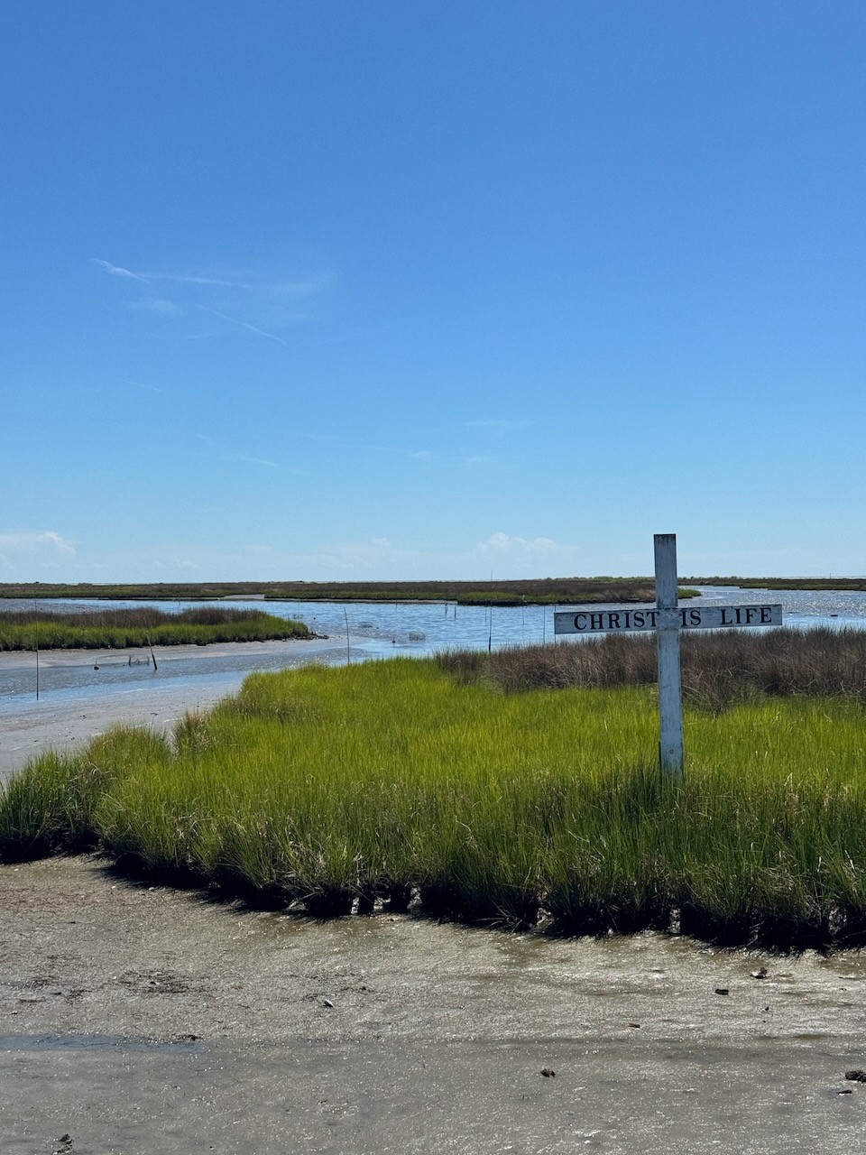
We had lunch, explored a little, and walked out to the beach. The shoreline was beautiful, but after reading the history and seeing the island from above, it was impossible to look at it as just another beach.
Formation, smoke, and weather on the way home
The return flight turned into the other half of the adventure. Thunderstorms were developing between Tangier and Westminster, so the trip home required some weaving around the weather to find a workable way back in.
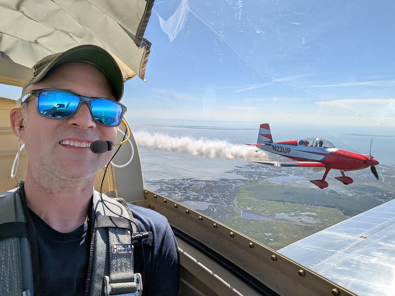
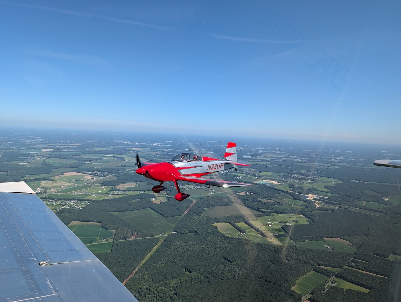
Along the way, Mike and I had the chance to fly formation. Two RVs look good together under almost any circumstances, and a clear patch of sky gave us the opportunity to get some excellent photos.
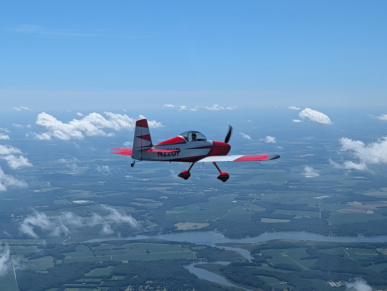
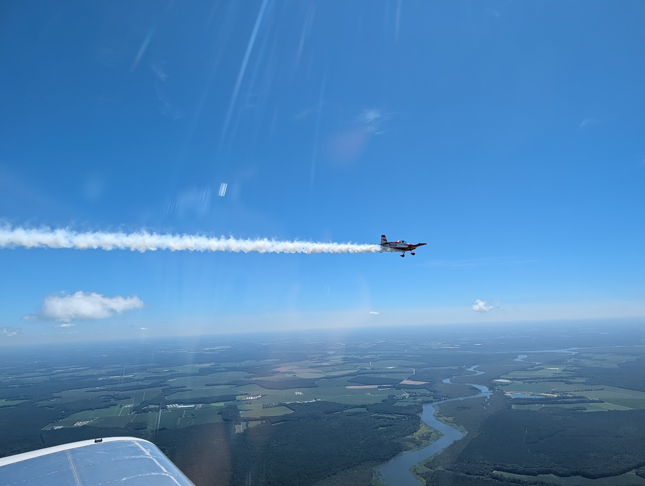
And, of course, if two airplanes have smoke systems, there is an obligation to verify that both are still working.
By the end of the day, I had logged 2.3 hours of flight time and one hour of maintenance. More importantly, the aviation vacation had properly begun. I had returned from Lima, renewed the medical, completed the flight review and IPC, and then immediately put all of it to use on exactly the sort of trip that makes owning an airplane worthwhile: good friends, an unusual destination, a little history, challenging weather, formation flying, and smoke.